
TL;DR
- Kharab is the uncultivable portion of a survey number recorded in a Karnataka RTC, and it splits into two very different things: A-Kharab stays with the owner's title, but B-Kharab is reserved for public use (roads, tanks, footpaths, burial grounds) and belongs to the government — so B-Kharab extent is not yours to build on or sell.
- The trap for developers: your RTC may show a healthy total extent, but if a chunk of it is B-Kharab, your real, saleable, buildable area is smaller — sometimes materially smaller.
- A-Kharab (unfit for cultivation at survey, e.g. rocky patches, farm structures) is private land you can usually convert and build on; B-Kharab cannot be conveyed or regularised by a private party without a proper government grant.
- The split is governed by Rule 21(2) of the Karnataka Land Revenue Rules, 1966 — clause (a) is A-Kharab (private), clause (b) is B-Kharab (public/government).
- You cannot tell A from B from the RTC's headline number alone. You confirm the breakup against the Akarband, Tippani/Phodi sketch and village map, and a lawyer reads it into your net-area and title position.
What is Kharab land in a Karnataka RTC?
Kharab (literally "spoiled" or "waste") is the part of a survey number classified as uncultivable when the land was originally surveyed. It is recorded in your RTC (Pahani) as a sub-figure inside the total extent, and it carries no land-revenue assessment because it cannot be farmed.
Here is the myth-buster: Kharab is not a single category, and it is not automatically "useless land you still own." Karnataka revenue law splits Kharab into two classes with opposite ownership consequences. One is yours. One is the government's. Treating them as the same is how developers overpay for extent they can never build on or sell.
The technical term is pot kharab, defined under Rule 21(2) of the Karnataka Land Revenue Rules, 1966:
- Clause (a) — A-Kharab: land unfit for cultivation at the time of survey.
- Clause (b) — B-Kharab: land reserved or assigned for a public purpose.
If you are new to the RTC document itself, start with how to read a Bhoomi RTC and its Column 11 red flags — the Kharab figure sits inside the extent details those columns describe.

A-Kharab vs B-Kharab: what is the difference and who owns it?
The short answer: A-Kharab belongs to the landowner; B-Kharab belongs to the government. That single distinction decides whether the Kharab extent counts toward your usable, saleable parcel.
| Feature | A-Kharab | B-Kharab |
|---|---|---|
| Legal basis | Rule 21(2)(a), KLR Rules 1966 | Rule 21(2)(b), KLR Rules 1966 |
| What it is | Unfit for cultivation at survey (rocky/barren patches, farm buildings, threshing floors) | Reserved/assigned for public use |
| Typical examples | Stony land, gullies, the holder's farm structures | Roads, recognised footpaths, tanks, streams, canals, burial/cremation grounds, village potteries |
| Ownership | Stays with the holder's title (private) | Government land |
| Can you sell it? | Generally yes, with the rest of the parcel | No — not yours to convey |
| Can you convert/build on it? | Usually yes (subject to conversion) | No, without a separate government grant |
| Counts toward buildable area? | Yes (after conversion) | No |
| Land revenue assessed? | No | No |
A useful way to remember it: A is for "Adjacent to your title" (private but uncultivable), B is for "Belongs to the public" (government, public purpose). Karnataka courts have held that land falling under clause (a) is not government land and carries private ownership — meaning A-Kharab is a real asset, not a write-off, while B-Kharab is genuinely outside your title.
Why this is not just "bad soil"
Both A and B are uncultivable, so people lump them together. But "uncultivable" describes the soil; "A vs B" describes the ownership and the reason it was set aside. A-Kharab is uncultivable for you but legally yours. B-Kharab is uncultivable because it was carved out for everyone — a public road or a village tank running through your survey number.
How does B-Kharab shrink your buildable area?
Directly. Every guntha of B-Kharab inside your survey number is extent you are paying for in the price-per-acre, but cannot include in your saleable layout, FAR calculation, or sale deed. It silently lowers your net usable area.
A simplified worked example for a single survey number:
| Line item | Extent |
|---|---|
| Total extent on RTC | 4 acres 00 guntha |
| Less: B-Kharab (a road and a strip along a stream) | 0 acres 20 guntha |
| Less: A-Kharab (rocky patch — yours, but needs conversion) | 0 acres 10 guntha |
| Owner's title extent (A-Kharab + cultivable) | 3 acres 20 guntha |
| Practically buildable after conversion (cultivable + usable A-Kharab) | roughly 3 acres 10 guntha |
The headline said 4 acres. The land you can actually sell or build on is closer to 3.5 acres. On a per-acre acquisition cost, that gap is real money — and if you underwrote on the gross RTC figure, you have overpaid. This is exactly the kind of net-area discipline we stress in the developer's property due-diligence checklist.
Two further consequences developers miss:
- Access and alignment risk. A B-Kharab road or footpath running through the parcel can split your developable area or dictate your layout, even if the total guntha loss looks small.
- Conversion only covers what you own. When you apply for DC conversion, you convert your title extent — you cannot convert B-Kharab. Confirm the figures line up before you rely on a conversion order; see how to verify DC conversion and spot a fake order.
How do you find and verify the Kharab breakup?
The RTC tells you that there is Kharab and how much; it usually does not cleanly label which part is A and which is B. You confirm the split from the supporting survey records.
- Read the RTC (Pahani) extent. Note the total extent and the Kharab figure inside it. Pull it from Bhoomi. If the Kharab number is large relative to the total, treat it as a flag to investigate, not a footnote.
- Get the Akarband. This is the assessment register that records the cultivable and Kharab extents for the survey number and is the document where the Kharab classification is set out. It is the primary source for the A vs B breakup.
- Read the Tippani / Phodi sketch and village map. These show where the Kharab sits — a road, a tank boundary, a stream. Geometry tells you whether B-Kharab cuts through your buildable core or hugs an edge.
- Cross-check with K-GIS / cadastral overlays. Spatial overlays help you see public features (roads, water bodies) crossing the parcel that should correspond to B-Kharab.
- Have a lawyer reconcile the numbers. Total = cultivable + A-Kharab + B-Kharab should add up, and your sale deed extent should reflect only what you own. Mismatches are a title issue.
This is precisely the workflow a Title Search Report is built to standardise: machine-gather the RTC, Akarband and spatial records, normalise the extents, and surface the Kharab split — then a lawyer reviews and signs off on what is actually yours.
Can A-Kharab and B-Kharab change category?
A-Kharab can typically be converted to non-agricultural use along with the rest of your title, because it is private land. B-Kharab generally cannot be claimed or converted by a private party — it is government land set aside for a public purpose, and only a proper government grant or regularisation (not a private deed) can change that. Do not assume a "small" B-Kharab strip can be quietly absorbed; without a grant, it stays the government's.
What the RTC cannot tell you about Kharab
The RTC is a starting point, not the final word. Be honest about its limits:
- It often does not split A from B for you. The RTC may show a single Kharab figure; the A/B classification lives in the Akarband and survey records, not the Pahani headline.
- It does not show you where the Kharab is. A guntha figure cannot tell you whether B-Kharab bisects your parcel or runs along the boundary — only the Tippani/Phodi sketch and map can.
- Records can be stale or inconsistent. Manual entry, old surveys, un-effected re-surveys (phodi) and digitisation gaps mean the RTC, Akarband and ground reality can disagree. A mismatch is a title-defect signal, not a rounding error — see common title defects in Indian real estate.
- It is not legal advice. Tools (including Deedwise) can gather and draft the analysis at speed; a qualified lawyer must review the Kharab classification, reconcile the extents, and sign the final opinion.
Frequently asked questions
What is the difference between A-Kharab and B-Kharab in Karnataka? Both are uncultivable portions of a survey number, but ownership differs. A-Kharab (Rule 21(2)(a), KLR Rules 1966) is land unfit for cultivation at survey — such as rocky patches or the holder's farm buildings — and stays with the owner's title. B-Kharab (Rule 21(2)(b)) is land reserved or assigned for public use — roads, footpaths, tanks, streams, burial grounds, village potteries — and belongs to the government, so it is not yours to sell or build on.
Does B-Kharab reduce my buildable or saleable area? Yes. B-Kharab sits inside your survey number's total extent but cannot be included in your saleable layout, conveyance, or buildable calculation because it is government land. If you underwrite on the gross RTC extent without subtracting B-Kharab, your real net-usable area is smaller and you have likely overpaid on a per-acre basis.
Can A-Kharab land be sold and converted for development? Generally yes. Because A-Kharab is private land that simply happens to be uncultivable, it can usually be sold along with the rest of the parcel and converted to non-agricultural use, subject to the normal DC conversion process. Confirm from the Akarband and survey records that the patch is genuinely classified as A-Kharab and not B-Kharab before you rely on it.
Can B-Kharab land ever be converted to private ownership? Not by a private deed. B-Kharab is set aside for a public purpose and belongs to the government; a private party cannot claim title or convert it without a proper government grant or regularisation. Treat any B-Kharab extent as outside your title unless there is a clear, valid government grant in your name.
Where is the A-Kharab vs B-Kharab classification actually recorded? The RTC (Pahani) shows the total extent and the Kharab figure, but usually does not cleanly label A versus B. The authoritative split is set out in the Akarband (assessment register), and the location of the Kharab is shown in the Tippani/Phodi survey sketch and the village map. Reconcile all of these — ideally inside a Title Search Report that a lawyer reviews.
Is the Kharab figure on the RTC always accurate? Not necessarily. RTC entries can be stale, manually mis-keyed, or out of step with un-effected re-surveys (phodi) and the situation on the ground. A discrepancy between the RTC, the Akarband and the map is a red flag that needs a lawyer's review, not a number to be averaged away.
Continue reading
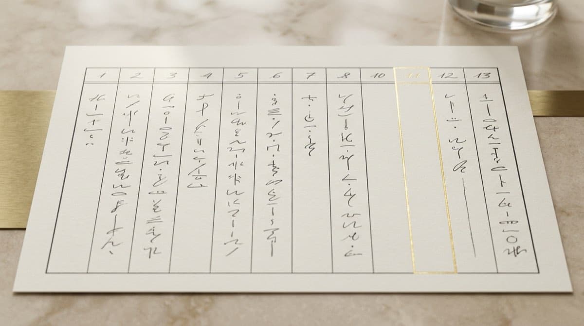
How to Read a Bhoomi RTC (Pahani): All 13 Columns and the Column 11 Red Flags
11 min read
How to Verify a Builder and Project on K-RERA Before Booking (Karnataka)
10 min read

What Is DC Conversion of Agricultural Land in Karnataka (Section 95) — Cost, Process, 2026 Reforms
10 min read

Bhoomi RTC for Karnataka Land Acquisition: A Developer's Guide
11 min read
Automate your due diligence
Skip the manual portal work.
Deedwise automates everything in this article — across every connected portal — and delivers a complete Title Search Report in hours.
Request Access