TL;DR
- To verify land boundaries and sell a portion of a survey number in Karnataka: apply for the 11E sketch on Mojini V3 (bhoomojini.karnataka.gov.in) — it is the mandatory pre-mutation survey sketch a Sub-Registrar needs before registering a partial sale — and use the Dishaank GPS app (by KSRSAC) to confirm the survey number on the ground physically matches the parcel and is not government or gomala land.
- The 11E sketch is required only when you sell, gift, or partition a part of a survey number; selling a whole, undivided survey number does not need one.
- Mojini issues the sketch after a department surveyor makes a field visit and measures the portion — it is a government survey, not a self-drawn map, so allow weeks, not days.
- Dishaank shows notional boundaries (GPS is accurate only to a few metres and worse under trees or buildings) — useful for a sanity check, never proof for a boundary dispute.
- Mojini, Dishaank, the Bhoomi RTC, and K-GIS together build the spatial "Land" pillar of a title search, but none of them replaces a physical survey and a lawyer's title opinion.
How do I download a survey/11E sketch and verify land boundaries in Karnataka via Mojini and Dishaank?
In short: you apply for the 11E sketch on Mojini V3 to get the legally usable, government-measured boundary of the portion you are buying, and you use Dishaank on your phone to physically stand on the land and confirm the survey number and rough boundary match what the records say. Mojini is the official transactional tool (it produces a document the Sub-Registrar accepts); Dishaank is the field verification tool (it tells you where, roughly, the parcel sits in the real world).
These two are the spatial layer of Karnataka land due diligence. They sit alongside the textual records — the Bhoomi RTC (who owns it and how much) and the Kaveri Encumbrance Certificate (what is registered against it). A serious land acquirer reads all four together, because each one can be silently wrong about something the others would catch.
This guide walks through both tools step by step, what each output looks like, the red flags they expose, and — honestly — what neither of them can tell you.

What is an 11E sketch, and when do I actually need one?
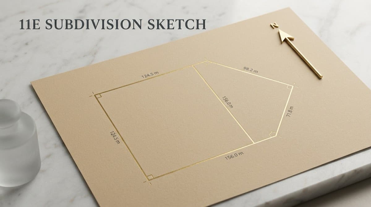
An 11E sketch is a pre-mutation survey sketch prepared by the Karnataka Survey, Settlement and Land Records department that shows the exact boundary and measurement of the specific portion of a survey number being sold, gifted, or partitioned — and assigns that portion its own new sub-number.
The 11E sketch is not the same as the survey number map, the village map, or the Bhoomi RTC. It is a fresh, transaction-specific measurement created because you are carving a piece out of a larger holding.
Karnataka introduced the pre-mutation (11E) sketch requirement precisely to stop a common fraud: a seller owning, say, 4 acres in survey number 45 selling "2 acres" on paper to multiple buyers, with no one knowing where on the ground each 2-acre slice actually lay. The 11E forces the department to physically measure and pin the exact portion before the deed is registered.
When you DO need an 11E sketch
| Situation | 11E sketch needed? | Why |
|---|---|---|
| Selling a portion of a survey number (e.g. 2 of 4 acres in Sy. No. 45) | Yes | Sub-Registrar should not register a partial transfer without one |
| Gifting or partitioning part of a survey number | Yes | Same pre-mutation rule applies to gift and partition deeds |
| Selling the whole undivided survey number / hissa | No | No subdivision is happening; the existing record already defines it |
| Buying land already carved into its own hissa with its own RTC | Usually no | The earlier subdivision should already have an 11E on record |
| Verifying boundaries before you commit (no transaction yet) | Optional but wise | You can pull existing sketches / use Dishaank to sanity-check |
A practical signal: if the deed you are about to register conveys an area smaller than the total extent shown in the seller's Bhoomi RTC, you are almost certainly in 11E territory.
How do I apply for an 11E sketch on Mojini V3?
You apply through Mojini V3 at bhoomojini.karnataka.gov.in (the Revenue Department's land-survey portal), or in person at a taluk survey office / Atalji Janasnehi Kendra (Nadakacheri). The application triggers a department surveyor to visit the site, measure the portion, and generate the sketch, which is then approved by the supervising survey officer.
Here is the typical flow. Steps and screen labels change between Mojini versions and updates, so treat this as the shape of the process rather than a pixel-perfect script.
| Step | What you do | What you get |
|---|---|---|
| 1 | Register / log in on Mojini V3 (username, password, CAPTCHA) | Citizen dashboard |
| 2 | Select the survey service — pre-mutation / 11E sketch for a sale, gift, or partition | Application form |
| 3 | Enter district, taluk, hobli, village, survey number and hissa, and the portion details | Pre-filled parcel data from records |
| 4 | Pay the prescribed measurement and notice fees online | Acknowledgement / application number |
| 5 | Department schedules a department surveyor field visit; adjacent holders are noticed | Site measurement |
| 6 | Surveyor prepares the 11E sketch; supervising officer verifies and approves | Approved 11E sketch with a new sub-number |
| 7 | Track status and download / view the sketch under "View Sketch" or application-status using your application number | The sketch you attach to the deed |
What the 11E output looks like
The approved 11E sketch is a measured drawing of the portion with bearings and dimensions, the new sub-survey number assigned to that portion, the surveyor's and approving officer's details, and a reference to the parent survey number. At registration, this sketch (and its certificate) is referenced in the sale deed so the Sub-Registrar can register the exact, identified portion.
Fees and timeline (indicative, 2026)
The statutory measurement and per-notice fees for an 11E are modest — think in tens to low hundreds of rupees of official fees, with a small notice fee for each adjacent holder. The real cost and the real wait come from the field visit: surveyor availability varies enormously by taluk, and a fresh measurement commonly takes several weeks from application to an approved sketch (longer where surveyors are stretched or adjacent boundaries are contested). Do not assume same-week turnaround when you plan a closing date. Always confirm current fees on the Mojini portal itself, as they vary by service and are shown during the online application.
How do I use the Dishaank app to verify a survey number on the ground?
Dishaank is a free mobile GIS app by KSRSAC (Karnataka State Remote Sensing Applications Centre) that uses your phone's GPS to identify which survey number you are standing on and shows survey and hissa boundaries on a map, with a link through to the RTC. It is the fastest way to answer "does this physical plot actually correspond to the survey number on the seller's papers?"
Steps:
- Install Dishaank (KSRSAC) from the Google Play Store or Apple App Store.
- Enable high-accuracy GPS / location on your phone before you go to the site.
- Stand on the land in question and open the app — it pinpoints your position and highlights the survey number boundary you are inside.
- Alternatively, use the hierarchical search: District, then Taluk, Hobli, Village, and Survey number, and the map zooms to the parcel.
- Tap the parcel to view survey/hissa boundaries and fetch the linked RTC (Pahani) details from Bhoomi.
- Walk the corners with the app open to see, roughly, whether the physical extent and shape track the mapped parcel.
What Dishaank is great for
- Catching a survey-number mismatch — the seller points at a plot, but Dishaank says you are standing on a different survey number. This is one of the most common pre-purchase shocks.
- Spotting government / gomala land — if the adjacent or overlapping parcel reads as government, gomala (grazing), kharab, tank-bed, or forest, that is an immediate flag for encroachment or a defective extent. (Land classification also shows in the RTC.)
- A quick reality check before you pay for a full survey or commit to an advance.
What can Mojini and Dishaank NOT tell you?
This is where honesty matters, because both tools are routinely over-trusted. Neither is a substitute for a physical survey by a licensed surveyor or for a lawyer's title opinion.
Dishaank boundaries are notional, not legal. Consumer GPS is accurate only to roughly a few metres in the open, and that error can blow out to tens of feet under tree cover, near buildings, or in dense urban areas. KSRSAC's own documentation states the data is informational and cannot be used as legal evidence for ownership or boundary disputes. Use it to identify a parcel, never to settle a corner peg.
Mojini's 11E confirms the portion's measurement, not the seller's title. An 11E sketch proves the portion has been measured and sub-numbered. It says nothing about whether the seller actually owns it free of charges, whether there is an undisclosed mortgage, or whether the land is litigated. Those come from the Kaveri Encumbrance Certificate, CERSAI, and eCourts.
Cadastral maps can lag reality. The mapped boundary in Dishaank/K-GIS reflects old survey records; physical possession, recent partitions, road widening, or encroachments may not yet be captured.
Conversion and zoning are separate questions. Neither tool tells you whether agricultural land has valid DC conversion to non-agricultural use — that requires checking the conversion order itself (see how to verify DC conversion in Karnataka) — nor whether an urban plot has a valid e-Khata on e-Aasthi.
How do the 11E sketch and Dishaank fit into a full title search?
They populate the Land pillar of a Title Search Report — the spatial confirmation that the parcel on paper exists, is correctly located, has a defensible boundary, and is not sitting on government land. A complete diligence cross-references the spatial layer against the textual records.
| Source | Tool | Answers | Key limit |
|---|---|---|---|
| Boundary of the portion | Mojini V3 (11E sketch) | Where exactly is the part being sold, and its new sub-number | Field-visit dependent; says nothing about title |
| Survey number on the ground | Dishaank (KSRSAC GPS app) | Does this physical plot match the survey number; is it near gomala/forest | Notional GPS accuracy; not legal evidence |
| Ownership, extent, classification | Bhoomi RTC / Pahani | Who owns it, how much, what type, Column 11 charges | Revenue record only; misses SRO/CERSAI charges |
| Registered instruments & charges | Kaveri Online 2.0 EC | Sale deeds, mortgages, releases at the SRO | Only what was registered at that SRO |
| Spatial overlays / zoning | K-GIS / KSRSAC | Extent, reservation zones, water bodies, forest proximity | Map lag; needs ground-truthing |
The classic compound red flag a diligence team hunts for: the 11E/Bhoomi extent does not match the K-GIS or Dishaank footprint, and the deed conveys a portion the seller cannot point to consistently on the ground. That combination — paper area minus map area minus physical area not reconciling — is exactly how phantom acres and double-sold hissas surface. It is also one of the common title defects in Indian real estate and a core line item on any developer's due diligence checklist.
For where the spatial layer fits in the overall TSR — Ownership, Land, Encumbrance, Litigation — see what a Title Search Report is.
Frequently asked questions
What is an 11E sketch in Karnataka, and when is it required?
An 11E sketch is a pre-mutation survey sketch from the Karnataka Survey and Land Records department that measures and sub-numbers the specific portion of a survey number being sold, gifted, or partitioned. It is required whenever you transfer a part of a survey number — the Sub-Registrar should not register a partial sale without it. Selling a whole, undivided survey number or an already-carved hissa generally does not need a fresh 11E.
How do I apply for and download an 11E sketch?
Apply on Mojini V3 at bhoomojini.karnataka.gov.in (or in person at a taluk survey office / Atalji Janasnehi Kendra). Log in, select the pre-mutation/11E service, enter the survey number and portion, and pay the fees to get an application number. A department surveyor then visits and measures the site; once the supervising officer approves the sketch, you download or view it using your application number under the status or "View Sketch" option, and it is referenced in the sale deed.
Can I rely on the Dishaank app to confirm my land boundary?
No — only to identify the parcel, not to confirm the legal boundary. Dishaank uses phone GPS, which is accurate to only a few metres in the open and much worse under trees or near buildings, so the boundaries it shows are notional. KSRSAC states the data is for information only and is not legal evidence. For a defensible boundary you need a physical survey by a licensed surveyor and, for the portion of a transaction, the 11E sketch.
How long does an 11E sketch take and how much does it cost?
The official measurement and per-notice fees are modest (tens to low hundreds of rupees, plus a small notice fee per adjacent holder, as of 2026), but the timeline depends on a surveyor field visit and commonly runs several weeks — longer where surveyors are stretched or adjacent boundaries are disputed. Exact current fees are shown during the Mojini online application, so confirm them there rather than relying on third-party figures.
Can Dishaank tell me if land is government or gomala land?
It can flag it. Dishaank shows survey/hissa boundaries and, with the RTC link, the land classification, so you can see whether the parcel or its neighbours read as government, gomala (grazing), kharab, tank-bed, or forest land. Treat any such reading as a serious red flag, but confirm it against the RTC, K-GIS, and a lawyer's review before drawing conclusions.
Do Mojini and Dishaank replace a lawyer's title check?
No. Mojini's 11E confirms the portion's measurement and Dishaank confirms its rough physical location, but neither verifies ownership, charges, or litigation. Those require the Kaveri Encumbrance Certificate, CERSAI, and eCourts. In a Deedwise Title Search Report, AI gathers and drafts these spatial and textual findings, but a qualified lawyer reviews and signs the final opinion before you commit funds.
Continue reading
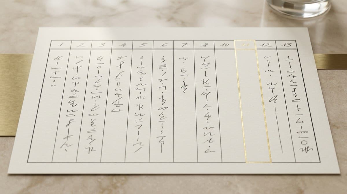
How to Read a Bhoomi RTC (Pahani): All 13 Columns and the Column 11 Red Flags
11 min read

The Complete Karnataka Land-Buying Document Checklist (4-Pillar, Source-Backed)
12 min read

How to Download an Encumbrance Certificate Online from Kaveri in Karnataka (Form 15 vs Form 16)
11 min read

Bhoomi RTC for Karnataka Land Acquisition: A Developer's Guide
11 min read
Automate your due diligence
Skip the manual portal work.
Deedwise automates everything in this article — across every connected portal — and delivers a complete Title Search Report in hours.
Request Access